300M+
data items indexed, 40M+ docs

Find, trust and use subsurface data with ease
Index, search and assess wells, seismic, logs and documents across systems, then deliver trusted data
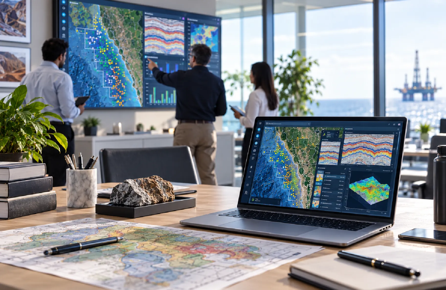
Geodatafy connects subsurface data across vendor systems, databases, file shares and the cloud. It gives exploration and production teams one search across wells, seismic, logs, cores, production and documents. Beyond discovery, it scores quality, finds duplicates, blends master records and delivers trusted data into the applications, analytics tools and repositories where work happens with confidence.
Results from a major oil company implementation:
300M+
data items indexed, 40M+ docs
24
cloud and on-prem sources connected
~1 sec
queries across 20M+ wells
Index vendor stores, databases, file shares and cloud data into one searchable landscape for faster discovery.
Put data discovery directly in geoscientists' and engineers' hands, without relying on system owners.
Score data quality by source and asset to give teams confidence in completeness, accuracy and consistency.
Flag duplicates and blend qualified sources into a single master record across wells, surveys and more.
Index legacy projects and export selected data in vendor-neutral formats, turning migration into a decision.
Deliver selected data into interpretation tools, analytics platforms, on-premise stores and OSDU on demand.
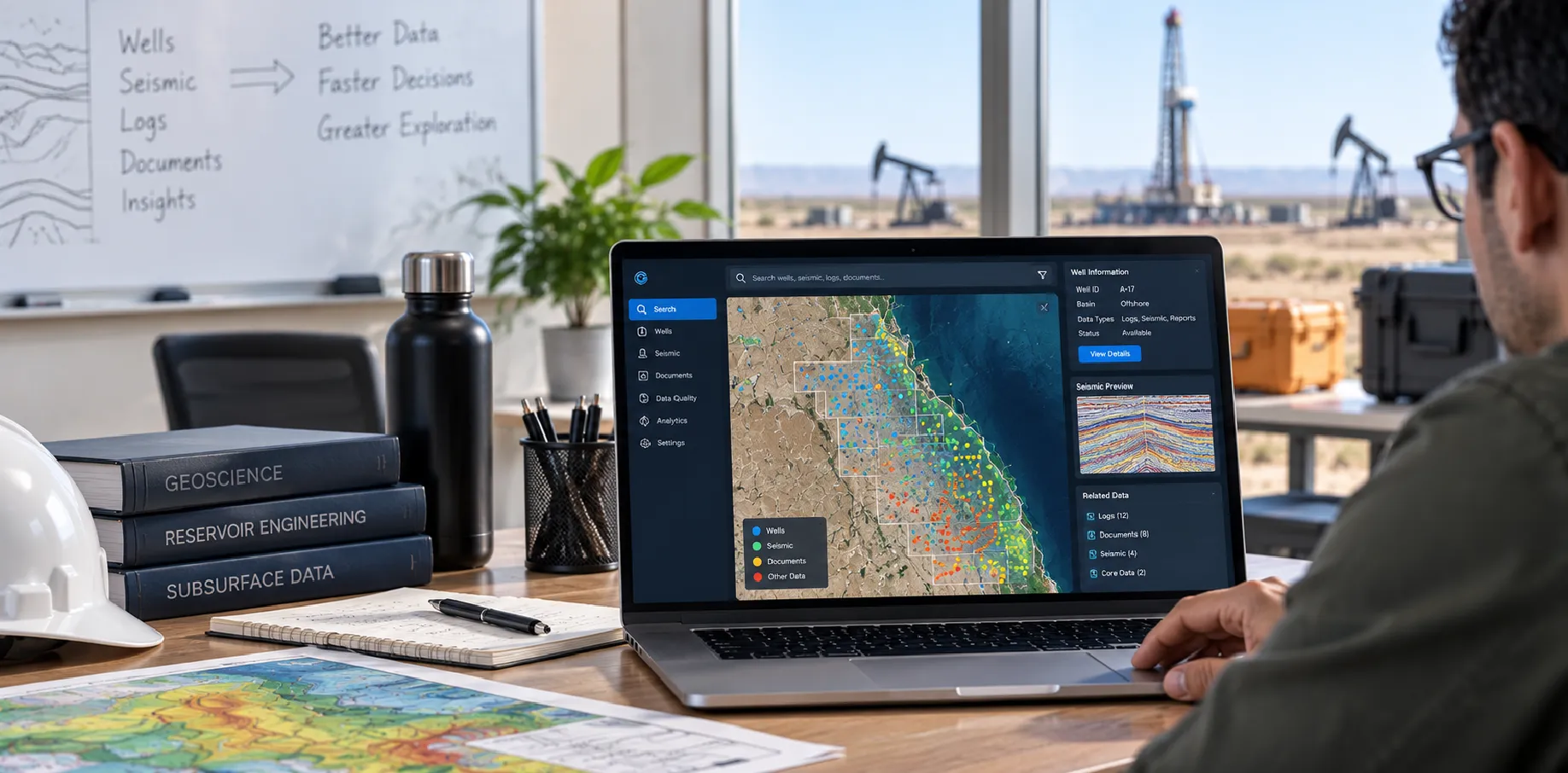
Geodatafy brings discovery, quality, mastering, transfer and visualisation into one platform, so data managers, geoscientists and engineers work from the same searchable picture.
Search by area, data type, filters and free text, then follow relationships across wells, logs, picks and seismic.
Map vendor data into a consistent model, unit system and coordinate reference for like-for-like comparison.
Make reports, well files and scanned records searchable by keywords and parameters extracted during indexing.
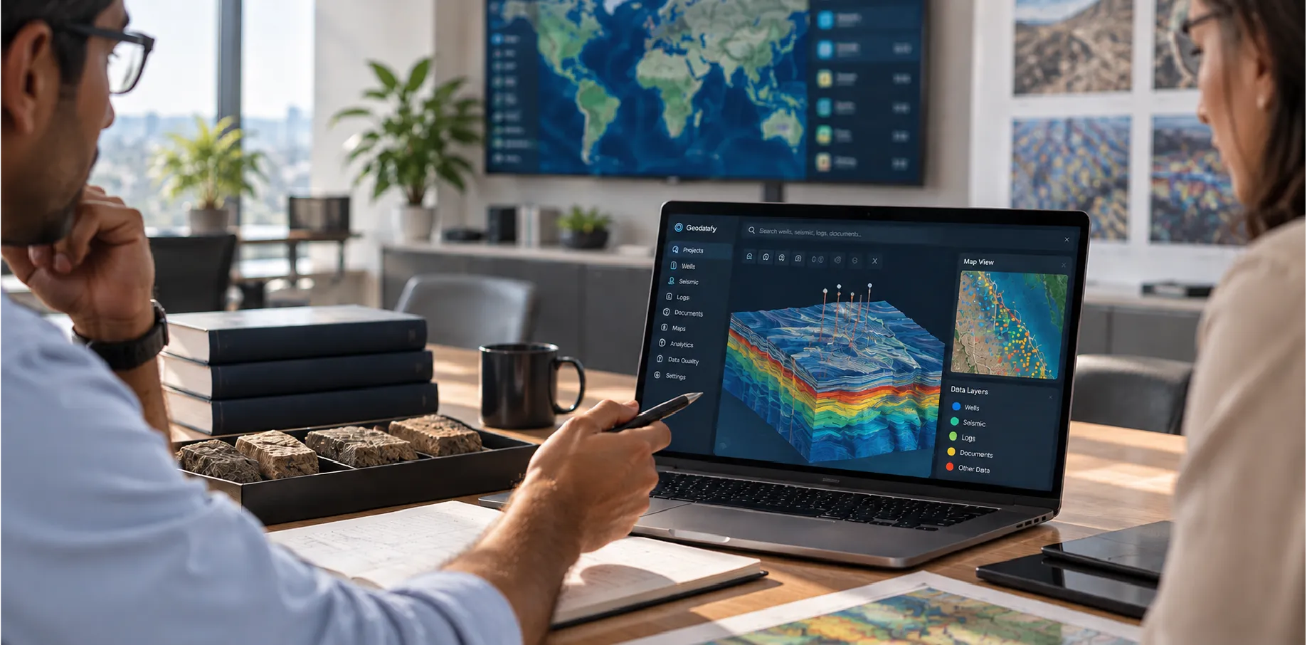
Score completeness, accuracy, uniqueness, conformity and consistency with versioned rules that explain every failure.
Blend qualified in-house and vendor records into master data using source priorities, overrides and scheduled re-runs.
Move data on demand, schedule or trigger, with chained jobs for indexing, scoring and transfer, plus change alerts.
Prepare and select data for OSDU, index it alongside on-premise sources, and return it to legacy applications.
Launch subsurface viewers or connected analytics tools directly from selections, eliminating manual export and reload.
Geodatafy turns scattered technical data into a usable, trusted set in four steps:
Connect vendor stores, databases, file systems, cloud and OSDU. Index everything into a common model without changing source systems.
Search by area of interest, data type, filters and free text. Select wells and follow relationships to logs, picks, documents and seismic.
Add selections to a data cart, then export, transfer or launch them into interpretation tools, analytics platforms, cloud or OSDU.
Score records for completeness, accuracy, uniqueness, conformity and consistency. Flag duplicates and blend qualified sources into master records.
Search by area, data type and filters to view wells, seismic, documents and geo-registered images from every source on one map.
Select wells and discover related logs, picks, zones, surveys, core analyses and documents without opening source applications.
Filter by quality score or failing rule, inspect failed attributes, and compare projects and assets on a quality dashboard.

Bring wells, seismic, logs, cores and production data from vendor stores and file shares into one searchable view.

Search geochemical, geophysical and technical data across OSDU and other sources, then deliver it to key specialist apps.
Connect vendor stores, databases, file systems, ASCII files and web services through plugins and REST APIs.
Connect remote stores and cloud repositories alongside on-premise sources without forced consolidation.
Create indexers, jobs and services with the SDK; configure models, filters, viewers and branding through admin tools.
Enterprise authentication and role-based access enforce permissions per source, synced or defined in Geodatafy.
Data-driven energy teams choose BCT because it is:
Explore how organisations connect, govern and deliver subsurface data at scale.
Tell us about your data landscape and we'll show how Geodatafy connects sources, improves quality and speeds delivery.
Geodatafy is a subsurface data management platform from Bahwan CyberTek. It indexes structured and unstructured technical data across vendor applications, databases, file systems and cloud environments into one searchable landscape, then lets teams assess data quality, identify duplicates, build master records, and transfer selected data into the applications, analytics tools and repositories where they work.
Geodatafy indexes subsurface and technical data types including wells and wellbores, well logs, picks and zones, directional surveys, core and core analysis, geochemical analysis, 2D and 3D seismic, horizons and faults, reservoir models, production and test data, drilling events and prospects — alongside documents held in file systems and document management platforms.
Yes. Structured records from vendor applications and databases are indexed into a common data model, unit system and coordinate reference. Documents are indexed by contained keywords and by parameters extracted during indexing. Both are searchable in the same query, so a well and its reports return together rather than from two separate systems.
Users define an area of interest on the map and choose the data types they need. Results from every connected source appear on that map — wells, seismic lines, documents and geo-registered images — and can be narrowed further by configurable filters, free text, and relationships to other selected data.
Yes. Geodatafy indexes on-premise vendor stores, databases and file systems alongside cloud storage and cloud-hosted repositories, with data agents connecting secondary sites. Users search all of it in one place, and data can move in either direction — to the cloud as part of migration, or back on-premise for legacy applications.
Geodatafy works either side of an OSDU programme. Before migration it finds, scores and de-duplicates data so only qualified records are loaded. After migration it indexes OSDU alongside remaining on-premise sources so users see one picture, and it can transfer OSDU data back to on-premise stores for legacy workflows.
Users define versioned rulesets per data type. Rules measure completeness, accuracy, uniqueness, conformity, and consistency against a reference project where one is defined. Every record receives scores and a record of which attributes failed which rule. Results can be filtered inside Geodatafy or reported in a connected analytics tool.
Yes. Users add selections to a data cart and choose a destination; registered transfer capabilities define which data types can move between which systems. Transfers run on demand, on a schedule or on a trigger, and can be chained with indexing, enrichment and quality-scoring jobs into an automated workflow.
Geodatafy includes two AI-assisted functions: a natural-language assistant that answers questions about indexed data in text, tables or charts; and AI-assisted extraction of key parameters from seismic file headers during loading. Indexing, search, quality scoring, mastering and transfer are rule-based and configurable, not model-driven.
Talk to a BCT subsurface data specialist. Share the systems your data sits in today, the data types that matter most, and where you are on cloud or OSDU. The team will map that against Geodatafy's connectors and show you what a search across your own environment would return.